Home
Services
Aerial Photography
Drone Surveying
GPS Surveys
LiDAR Scanning
Orthophoto Production
Photogrammetric Mapping
Contact
Home
Services
- Aerial Photography
- Drone Surveying
- GPS Surveys
- LiDAR Scanning
- Orthophoto Production
- Photogrammetric Mapping
Contact
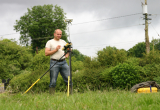
surveyor
Home
/
GPS Surveys
/
surveyor
Published
20 October, 2017
at
320 × 220
in
GPS Surveys
Previous